Home
If you’ve ever opened the weather app on your phone or watched the meteorologist on tv say something and it is slightly or completely inaccurate to what ends up happening, just know that they are simply doing their best. Weather is the state of the atmosphere at a given time and place. Sounds easy. However, there are many factors at play when forecasting for a specific time and place.
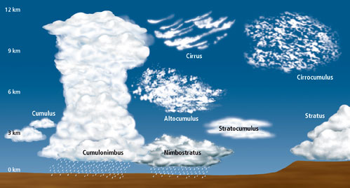
For example, you might see clouds and rain in the distance but is it coming your way? And is it associated with thunderstorms? That depends on the type of cloud, the cloud height from its base to its top, type of weather phenomena causing that rain, time of day/year, temperature and dewpoint, climatology, weather systems or phenomena near or approaching, observed and model skew-T soundings, METAR observations, and more. Even with all factors considered, models can also be inaccurate or give false data. METAR observations can be inaccurate if in an automated mode with no weather forecaster double-checking the observation.
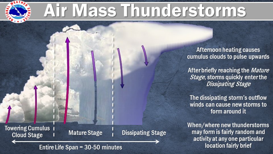
Additionally, some factors may hold more weight than others. During “springtime severe” March-May in the southeast United States, there are, what’s known as “popcorn” or airmass thunderstorms.
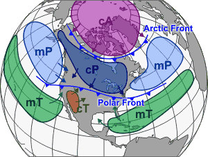
The southeast has a warm, moist maritime tropical (mT) airmass, with moisture from the Gulf and predominantly southerly winds aiding in cloud formation and development.
The key is heating.
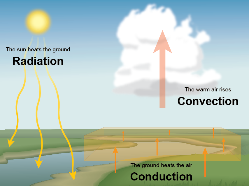
As the sun rises at 6-7am daytime heating will set off the ingredients for thunderstorm formation (moisture, instability, lift, exhaust). At max heating, the time of day when the temperature is the highest-typically 2-4pm- is the highest potential for the worst of airmass thunderstorms. As the sun sets, the heating factor goes away. By this logic there should be thunderstorm warnings every day in the spring in the South from sunrise to sunset.
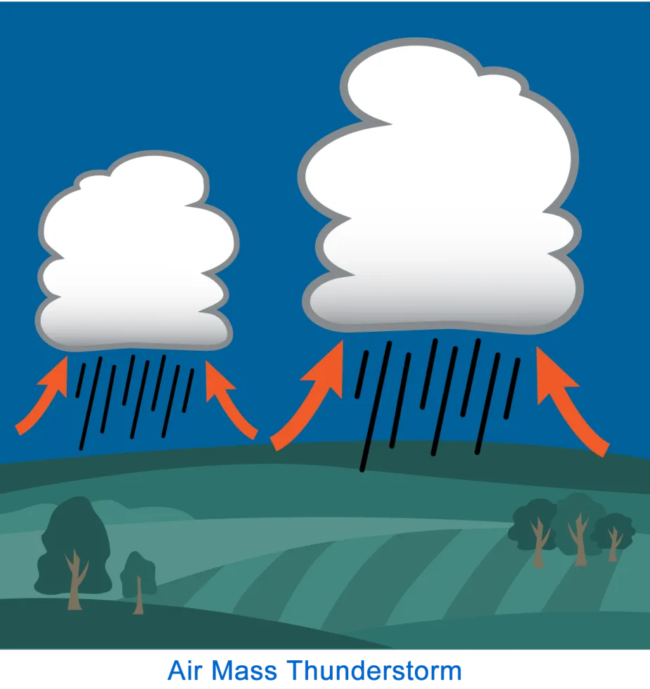
However, clouds can act as a barrier, trapping the surface heat at the cloud base from the daytime heating of the sun. Furthermore, soundings and models can show minimal instability or K values. Airmass thunderstorms are also quick to form and quick to die out, hence, the “popcorn” nickname, which makes forecasting for them particularly difficult. Now, throw in frontal systems, high pressure systems, troughs, and you might get different answers for each.
On the following pages you will find common weather forecasting tools typically used: real-time data, past data, future data (models), and weather instruments.