Instruments
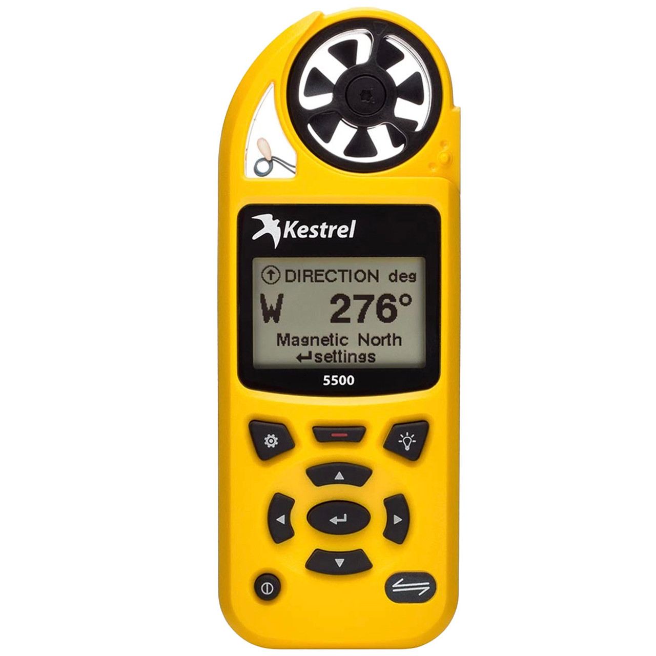
Kestrel
The most common instruments used by weather forecasters are kestrels and rawinsondes.
Kestrels are a portable device that measures:
Wind - the current, average, and maximum winds as well as wind direction, crosswind, and headwind/tailwind.
Temperature and humidity – air, water, and snow temperature, relative humidity, dew point, and heat stress index readings.
Barometric pressure – altitude and density altitude.
Even if the internet goes out or there is a systems outage affecting your weather sensors, you can go outside and utilize the Kestrel for backup.
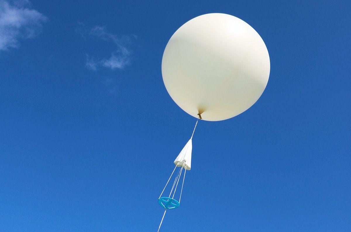
Rawinsonde
Rawinsondes are the bread and butter of weather forecasts. They are weather balloons that fly into the sky and collect an instant snapshot of the atmosphere. They produce Skew-T log-p diagram. Here is some data they collect:
- Isobars
- Isotherms
- Saturation mixing ratio lines
- Wind barbs
- Dry adiabatic lapse rate
- Moist adiabatic lapse rate
- Environmental sounding
- Dewpoint plot
- PWI
- K-Index
- LI
While it does offer an incredible amount of data, let’s focus on three: PWI, K, and LI.
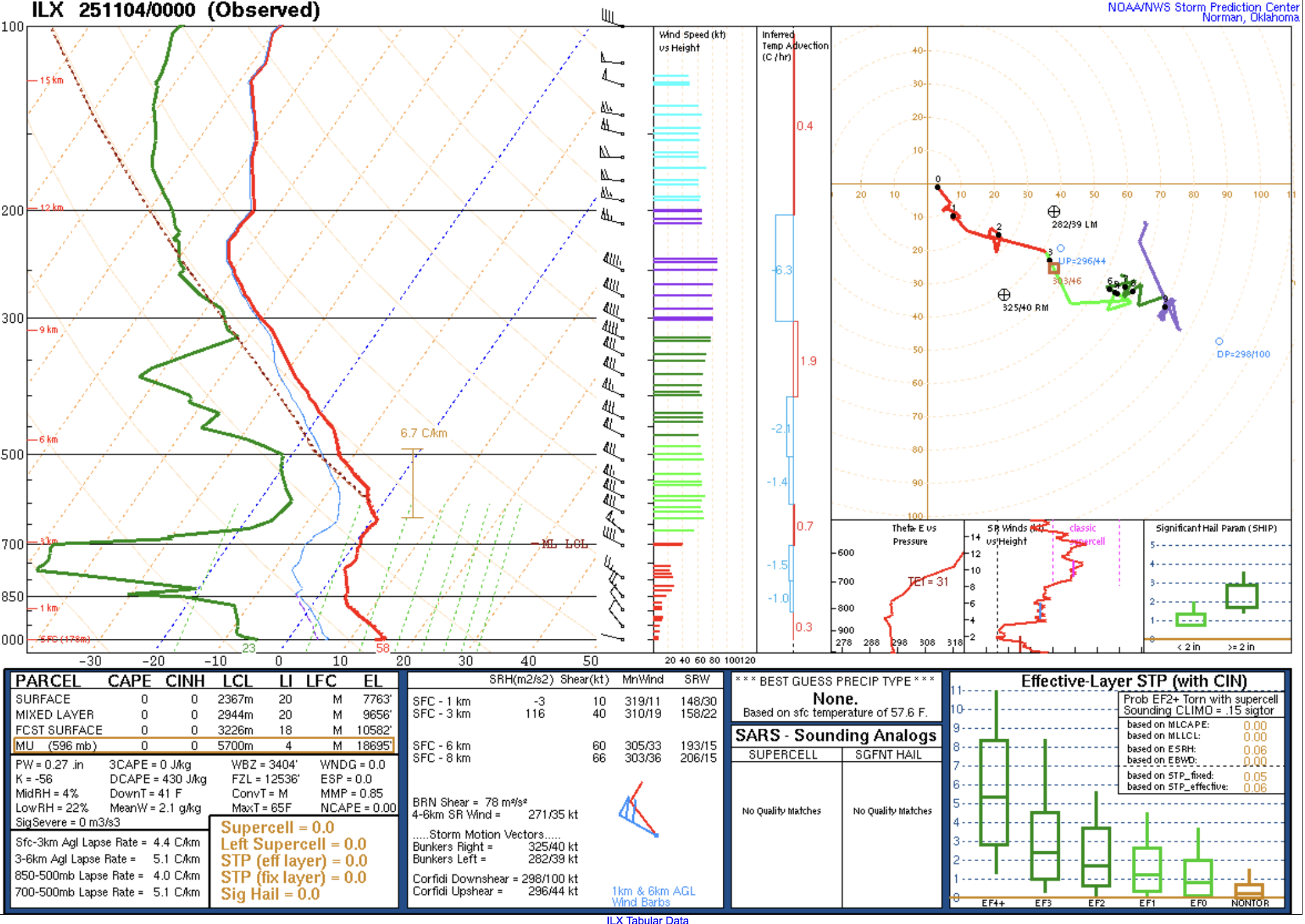
PWI stands for Precipitable Water Index. This is used to indicate how much water is in a parcel of air. An example of a high PWI would be greater than 1.5, meaning a high chance for rain with ample moisture. K is the K Index meaning the kinetic potential energy that aids in thunderstorm development. A high K Index would be anything higher than 27. If you see 30 or 40, you’re in for a treat this Halloween. LI is the Lift Index. It is the temperature difference between the surface and the mid-levels of the atmosphere. An LI of -1 or higher indicates strong lifting atmospheric dynamics are at play and marginal instability. Thunderstorm development needs MILE: moisture, instability, lift, and exhaust. Moisture you can see from the PWI, instability from the K’s, lift from the LI’s, and exhaust (approaching fronts, troughs, or strong upper-level winds caused by the PFJ).